
चित्र:Proposed states and territories of India.png
इस पूर्वावलोकन का आकार: 569 × 600 पिक्सेल। दूसरे रेसोल्यूशन्स: 228 × 240 पिक्सेल | 455 × 480 पिक्सेल | 728 × 768 पिक्सेल | 971 × 1,024 पिक्सेल | 1,456 × 1,535 पिक्सेल।
मूल चित्र ((1,456 × 1,535 पिक्सेल, फ़ाइल का आकार: 332 KB, MIME प्रकार: image/png))
|
|
यह फ़ाइल विकिमेडिया कॉमन्स से है। वहाँ पर इसका विवरण पृष्ठ निम्नोक्त है। कॉमन्स मुक्त लाइसेंसों के अंतर्गत उपलब्ध मीडिया फ़ाइलों का संग्रह है। आप भी इसमें मदद कर सकते हैं। |

|
File:Proposed states and union territories of India.svg is a vector version of this file. It should be used in place of this PNG file when not inferior.
File:Proposed states and territories of India.png → File:Proposed states and union territories of India.svg
For more information, see Help:SVG. |
 |
| विवरण |
Deutsch: Indiens Anwärterstaaten
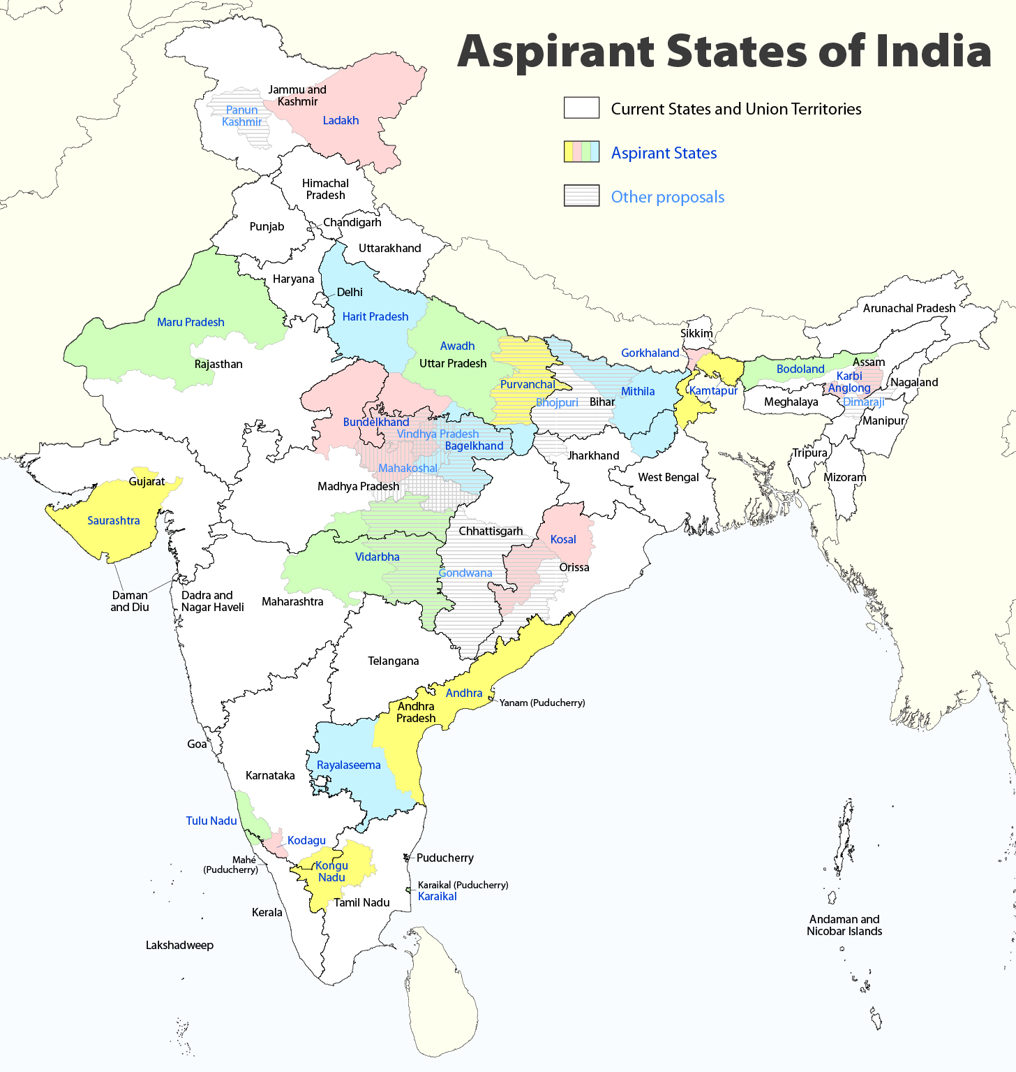
English: Aspirant States of India |
| दिनांक | |
| स्रोत | अपना कार्य |
| लेखक | Maximilian Dörrbecker (Chumwa) |
| अनुमति (इस चित्र का पुनः उपयोग करना) |
मैं, इस कार्य का/की कॉपीराइट धारक, इसे निम्न लाइसेंस के अंतर्गत प्रकाशित करता/करती हूँ: इस फ़ाइल को क्रिएटिव कॉमन्स श्रेय-समानसांझा 2.5 साधारण लाइसेंस के अंतर्गत लाइसेंस किया गया है।
Sie dürfen das Bild zu den folgenden Bedingungen nutzen:
|
| दूसरे संस्करण |
|

चित्र का इतिहास
फ़ाइलका पुराना अवतरण देखने के लिये दिनांक/समय पर क्लिक करें।
| दिनांक/समय | थंबनेल | आकार | सदस्य | प्रतिक्रिया | |
|---|---|---|---|---|---|
| वर्तमान | 09:06, 2 अगस्त 2020 | | 1,456 × 1,535 (332 KB) | Chumwa | Reverted to version as of 21:03, 29 August 2018 (UTC) |
| 20:03, 30 जुलाई 2020 |  | 1,456 × 1,535 (316 KB) | UT'sIndia | Reverted to version as of 15:15, 17 May 2013 (UTC) | |
| 21:03, 29 अगस्त 2018 |  | 1,456 × 1,535 (332 KB) | Chumwa | extended Tulu Nadu into Kerala | |
| 21:52, 5 जून 2014 |  | 1,456 × 1,535 (332 KB) | Chumwa | borders of Rayalseema corrected | |
| 18:23, 3 जून 2014 |  | 1,456 × 1,535 (332 KB) | Chumwa | borders of Mithila corrected | |
| 17:53, 3 जून 2014 |  | 1,456 × 1,535 (331 KB) | Chumwa | Telangana now is an official state | |
| 15:16, 17 मई 2013 |  | 1,456 × 1,535 (316 KB) | Cromium | Removed large title; enlarged map key with slightly different wording | |
| 15:15, 17 मई 2013 |  | 1,456 × 1,535 (316 KB) | Cromium | Removed large title; enlarged map key with slightly different wording | |
| 22:32, 2 जनवरी 2012 |  | 1,456 × 1,535 (312 KB) | Chumwa | added some other aspirant states | |
| 21:16, 2 जनवरी 2012 |  | 1,456 × 1,535 (292 KB) | Chumwa | added a map key |
चित्र का उपयोग
निम्नलिखित पन्ने इस चित्र से जुडते हैं :
चित्र का वैश्विक उपयोग
इस चित्र का उपयोग इन दूसरे विकियों में किया जाता है:
- bn.wikipedia.org पर उपयोग
- de.wikipedia.org पर उपयोग
- en.wikipedia.org पर उपयोग
- Delhi
- Gondwana (India)
- Kodagu district
- Mithila (proposed Indian state)
- Awadh
- Vidarbha
- Bundelkhand
- Bagelkhand
- Tulu Nadu
- Rayalaseema
- Purvanchal
- Bodoland Territorial Region
- Karbi Anglong district
- Mahakoshal
- Kongu Nadu
- Cooch Behar district
- Gird, India
- Mara Autonomous District Council
- Tripura Tribal Areas Autonomous District Council
- Malabar District
- Gorkhaland movement
- Kamtapur
- Proposed states and union territories of India
- Autonomous administrative divisions of India
- Karaikal district
- Panun Kashmir
- Chakma Autonomous District Council
- Lai Autonomous District Council
- Khasi Hills Autonomous District Council
- Jaintia Hills Autonomous District Council
- Garo Hills Autonomous District Council
- Template:Proposed states and union territories of India
- Tulu Nadu state movement
- Kosal state movement
- User:AbhisheksinghWIKI/Law and Order(India)
- Gorkhaland Territorial Administration
- Tipraland
- Kalyana-Karnataka
- Sadar Hills
- West Karbi Anglong district
इस चित्र के वैश्विक उपयोग की अधिक जानकारी देखें।