
चित्र:Ocean City Maryland aerial view north.jpg
इस पूर्वावलोकन का आकार: 800 × 534 पिक्सेल। दूसरे रेसोल्यूशन्स: 320 × 214 पिक्सेल | 640 × 427 पिक्सेल | 1,024 × 683 पिक्सेल | 1,500 × 1,001 पिक्सेल।
मूल चित्र ((1,500 × 1,001 पिक्सेल, फ़ाइल का आकार: 753 KB, MIME प्रकार: image/jpeg))
|
|
यह फ़ाइल विकिमेडिया कॉमन्स से है। वहाँ पर इसका विवरण पृष्ठ निम्नोक्त है। कॉमन्स मुक्त लाइसेंसों के अंतर्गत उपलब्ध मीडिया फ़ाइलों का संग्रह है। आप भी इसमें मदद कर सकते हैं। |
| विवरण |
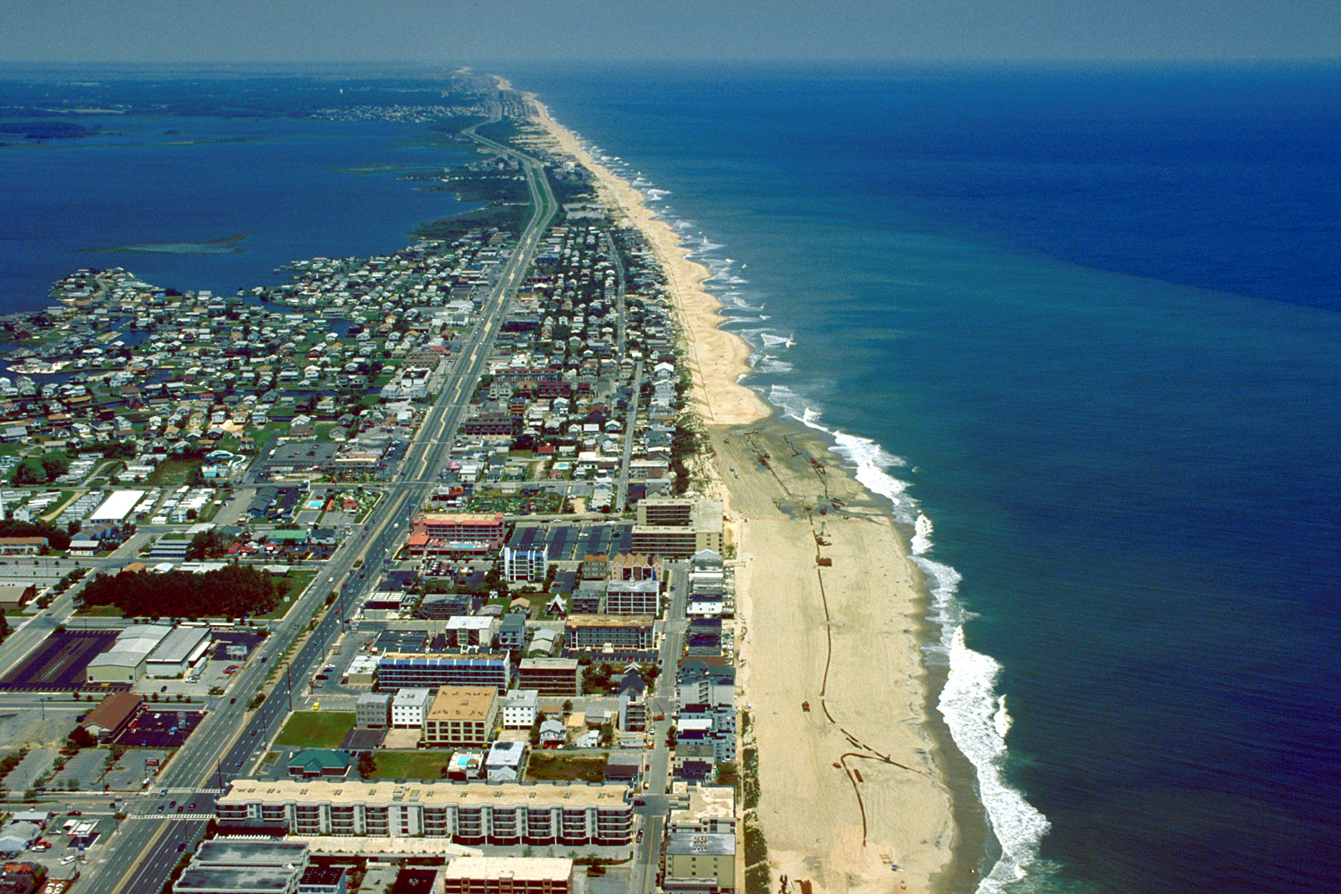
English: Aerial view of Ocean City, Maryland, USA. View is to the north-northeast. |
|||
| दिनांक | ||||
| स्रोत |
U.S. Army Corps of Engineers Digital Visual Library Image page Image description page Digital Visual Library home page |
|||
| लेखक | Tex Jobe, U.S. Army Corps of Engineers | |||
| अनुमति (इस चित्र का पुनः उपयोग करना) |
|
|||
| Location | Ocean City, Maryland, USA |
| कैमरा स्थान | | यह और अन्य आसपास की छवियों यहां पर देखें: ओपन स्ट्रीट मैप |
|---|
चित्र का इतिहास
फ़ाइलका पुराना अवतरण देखने के लिये दिनांक/समय पर क्लिक करें।
| दिनांक/समय | थंबनेल | आकार | सदस्य | प्रतिक्रिया | |
|---|---|---|---|---|---|
| वर्तमान | 01:10, 8 अप्रैल 2007 | | 1,500 × 1,001 (753 KB) | DanMS | {{Information | Description = {{en|Aerial view of Ocean City, Maryland, USA. View is to the north-northeast.}} | Source = U.S. Army Corps of Engineers Digital Visual Library<br />[http://images.usace.army.mil/images/Hires/0454-12.Jpg Image page |
चित्र का उपयोग
निम्नलिखित पन्ने इस चित्र से जुडते हैं :
चित्र का वैश्विक उपयोग
इस चित्र का उपयोग इन दूसरे विकियों में किया जाता है:
- ar.wikipedia.org पर उपयोग
- bg.wikipedia.org पर उपयोग
- bo.wikipedia.org पर उपयोग
- ca.wikipedia.org पर उपयोग
- de.wikipedia.org पर उपयोग
- en.wikipedia.org पर उपयोग
- es.wikipedia.org पर उपयोग
- fa.wikipedia.org पर उपयोग
- fr.wikipedia.org पर उपयोग
- hak.wikipedia.org पर उपयोग
- hu.wikipedia.org पर उपयोग
- ilo.wikipedia.org पर उपयोग
- is.wikipedia.org पर उपयोग
- it.wikipedia.org पर उपयोग
- ja.wikipedia.org पर उपयोग
- kn.wikipedia.org पर उपयोग
- pam.wikipedia.org पर उपयोग
- pl.wikipedia.org पर उपयोग
- pt.wikipedia.org पर उपयोग
- tr.wikipedia.org पर उपयोग
- ur.wikipedia.org पर उपयोग
- zh.wikipedia.org पर उपयोग