
चित्र:Assam locator map.svg

पूर्वावलोकन PNG का आकार SVG फ़ाइल: 734 × 600 पिक्सेल दूसरे रेसोल्यूशन्स: 294 × 240 पिक्सेल | 587 × 480 पिक्सेल | 940 × 768 पिक्सेल | 1,253 × 1,024 पिक्सेल | 2,506 × 2,048 पिक्सेल | 2,393 × 1,956 पिक्सेल।
मूल चित्र (SVG फ़ाइल, साधारणतः 2,393 × 1,956 पिक्सेल, फ़ाइल का आकार: 264 KB)
|
|
यह फ़ाइल विकिमेडिया कॉमन्स से है। वहाँ पर इसका विवरण पृष्ठ निम्नोक्त है। कॉमन्स मुक्त लाइसेंसों के अंतर्गत उपलब्ध मीडिया फ़ाइलों का संग्रह है। आप भी इसमें मदद कर सकते हैं। |
| शीर्षक |
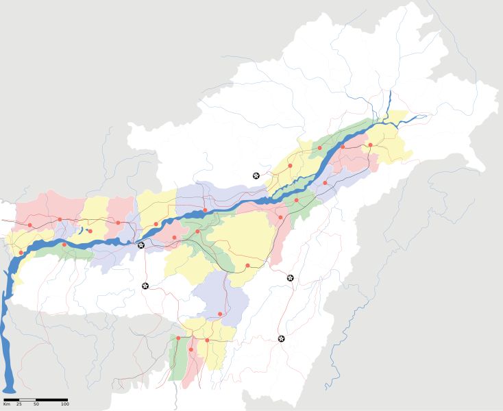
Assam locator Map |
||
| Description |
Map of w:Assam with road and rail lines. Coordinates: top=29.49, bottom=23.74, left=89.61, right=97.52. অসমীয়া: ৰেলপথ, যাত্ৰাপথ সমন্বিতে অসমৰ মানচিত্ৰ, স্থানাংক: ওপৰ=২৯.৪৯, তল=২৩.৭৪, বাও=৮৯.৬১, সো=৯৭.৫২। |
||
| दिनांक | |||
| स्रोत |
अपना कार्य |
||
| रचियता |
|
||
| अनुमति (इस चित्र का पुनः उपयोग करना) |
मैं, इस कार्य का/की कॉपीराइट धारक, इसे निम्न लाइसेंस के अंतर्गत प्रकाशित करता/करती हूँ: इस फ़ाइल को क्रिएटिव कॉमन्स श्रेय-समानसांझा 3.0 अनरिपोर्टेड लाइसेंस के अंतर्गत लाइसेंस किया गया है।
|
||
| Geotemporal data | |||
| Date depicted | second half of 20 century और 21 century | ||
| Georeferencing | If inappropriate please set warp_status = skip to hide. | ||
| Archival data | |||
| नोट्स | Part of WikiProject India Maps | ||
चित्र का इतिहास
फ़ाइलका पुराना अवतरण देखने के लिये दिनांक/समय पर क्लिक करें।
| दिनांक/समय | थंबनेल | आकार | सदस्य | प्रतिक्रिया | |
|---|---|---|---|---|---|
| वर्तमान | 18:53, 16 अप्रैल 2007 | | 2,393 × 1,956 (264 KB) | Planemad | |
| 18:36, 15 अप्रैल 2007 |  | 2,393 × 1,956 (215 KB) | Planemad | ||
| 17:20, 13 अप्रैल 2007 |  | 2,393 × 1,956 (206 KB) | Planemad | colored | |
| 16:56, 13 अप्रैल 2007 |  | 2,393 × 1,956 (216 KB) | Planemad | crop fix | |
| 16:55, 13 अप्रैल 2007 |  | 1,591 × 1,975 (216 KB) | Planemad | {{WikiProject_India_Maps |Title=Assam locator Map |Description=Map of w:Assam with road and rail lines |Source= [http://www.iitg.ernet.in/rcilts/assam_political.jpg IIT Guwahati - Assam Political map] |Date=April 2007 |Author=w:user:Planemad }} [ |
चित्र का उपयोग
निम्नलिखित पन्ने इस चित्र से जुडते हैं :
- उत्तर लखीमपुर
- कचार
- करीमगंज लोक सभा निर्वाचन क्षेत्र
- कलियाबोर लोक सभा निर्वाचन क्षेत्र
- काज़ीरंगा राष्ट्रीय उद्यान
- कोकराझार लोक सभा निर्वाचन क्षेत्र
- गुवाहाटी लोक सभा निर्वाचन क्षेत्र
- जोरहाट लोक सभा निर्वाचन क्षेत्र
- डिब्रुगढ़ लोक सभा निर्वाचन क्षेत्र
- तेजपुर लोक सभा निर्वाचन क्षेत्र
- धुबरी लोक सभा निर्वाचन क्षेत्र
- नौगांव लोक सभा निर्वाचन क्षेत्र
- बरपेटा
- बरपेटा लोक सभा निर्वाचन क्षेत्र
- मंगलदोई लोक सभा निर्वाचन क्षेत्र
- लखीमपुर लोक सभा निर्वाचन क्षेत्र
- सिल्चर लोक सभा निर्वाचन क्षेत्र
- स्वशासी जिला-असम लोक सभा निर्वाचन क्षेत्र
- साँचा:असम के लोकसभा निर्वाचन क्षेत्र
चित्र का वैश्विक उपयोग
इस चित्र का उपयोग इन दूसरे विकियों में किया जाता है:
- ar.wikipedia.org पर उपयोग
- as.wikipedia.org पर उपयोग
- অসম
- তেজপুৰ
- শিৱসাগৰ
- বৰপেটা
- যোৰহাট
- উত্তৰ লখিমপুৰ
- কামাখ্যা মন্দিৰ
- সদস্য:Anshuman.jrt/নলবাৰী
- সদস্য:Anshuman.jrt/শিলচৰ
- মাধৱ থান
- শিৱসাগৰৰ শিৱদৌল
- আউনীআটী সত্ৰ
- গহপুৰ
- শ্ৰী শ্ৰী বটদ্ৰৱা থান
- ঢেকীয়াখোৱা বৰনামঘৰ
- সাঁচ:Location map India Assam
- মহাভৈৰৱ মন্দিৰ
- সদস্য:Psneog/infobox mandir
- সদস্য:Vssun/test
- বিশ্বনাথ চাৰিআলি
- তিনিচুকীয়া
- নগাঁও
- বঙাইগাঁও
- ঢকুৱাখনা
- নাৰায়ণপুৰ
- ৰঙিয়া
- পাঠশালা
- নেঘেৰিটিং শিৱদৌল
- বদলা পদ্ম আতা সত্ৰ
- মাঘনোৱা দ’ল
- কাজিৰঙা ৰাষ্ট্ৰীয় উদ্যান
- বৰদৈবাম বিলমুখ পক্ষী উদ্যান
- বিহপুৰীয়া (নগৰ)
- কোকৰাঝাৰ
- কৰিমগঞ্জ
- হাৰিভাংগা
- সোণাৰি
- দ'দান থান
- কমাৰকুছি থান
- কৈহাটী
- মাণিকপুৰ
- পবিতৰা অভয়াৰণ্য
- মঙলদৈ
- মানস ৰাষ্ট্ৰীয় উদ্যান
- নামৰূপ
- জাতিংগা
- গুপ্তেশ্বৰ দেৱালয়
- শ্ৰী শ্ৰী আঠখেলীয়া নামঘৰ
- হোলোঙাপাৰ গিবন অভয়াৰণ্য
इस चित्र के वैश्विक उपयोग की अधिक जानकारी देखें।