
चित्र:Somerset UK relief location map.jpg

इस पूर्वावलोकन का आकार: 800 × 505 पिक्सेल। दूसरे रेसोल्यूशन्स: 320 × 202 पिक्सेल | 640 × 404 पिक्सेल | 1,024 × 647 पिक्सेल | 1,280 × 808 पिक्सेल | 2,019 × 1,275 पिक्सेल।
मूल चित्र ((2,019 × 1,275 पिक्सेल, फ़ाइल का आकार: 367 KB, MIME प्रकार: image/jpeg))
|
|
यह फ़ाइल विकिमेडिया कॉमन्स से है। वहाँ पर इसका विवरण पृष्ठ निम्नोक्त है। कॉमन्स मुक्त लाइसेंसों के अंतर्गत उपलब्ध मीडिया फ़ाइलों का संग्रह है। आप भी इसमें मदद कर सकते हैं। |
| विवरण |
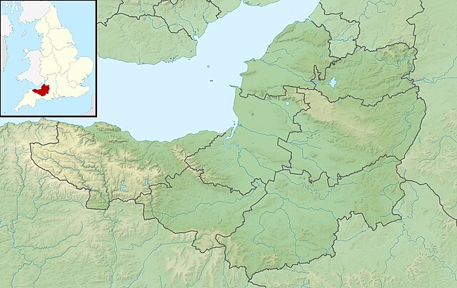
Relief map of Somerset, UK. Equirectangular map projection on WGS 84 datum, with N/S stretched 155% Geographic limits:
|
| दिनांक | |
| स्रोत |
|
| लेखक | Nilfanion, created using Ordnance Survey data |
| अनुमति (इस चित्र का पुनः उपयोग करना) |
इस फ़ाइल को क्रिएटिव कॉमन्स श्रेय-समानसांझा 3.0 अनरिपोर्टेड लाइसेंस के अंतर्गत लाइसेंस किया गया है। श्रेय: Contains Ordnance Survey data © Crown copyright and database right
|
| दूसरे संस्करण | File:Somerset UK district map (blank).svg - Blank map |
.svg)
चित्र का इतिहास
फ़ाइलका पुराना अवतरण देखने के लिये दिनांक/समय पर क्लिक करें।
| दिनांक/समय | थंबनेल | आकार | सदस्य | प्रतिक्रिया | |
|---|---|---|---|---|---|
| वर्तमान | 01:53, 29 नवम्बर 2011 | | 2,019 × 1,275 (367 KB) | Nilfanion | {{Information |Description=Relief map of Somerset, UK. Equirectangular map projection on WGS 84 datum, with N/S stretched 155% Geographic limits: *West: 3.96W *East: 2.12W *North: 51.55N *South: 50.80N |Source=[[w:Ordnance Survey|Ordnance |
चित्र का उपयोग
निम्नलिखित पन्ने इस चित्र से जुडते हैं :
चित्र का वैश्विक उपयोग
इस चित्र का उपयोग इन दूसरे विकियों में किया जाता है:
- ar.wikipedia.org पर उपयोग
- arz.wikipedia.org पर उपयोग
- bg.wikipedia.org पर उपयोग
- bn.wikipedia.org पर उपयोग
- ceb.wikipedia.org पर उपयोग
- en.wikipedia.org पर उपयोग
- Battle of Lansdowne
- Battle of Sedgemoor
- River Tone
- Chew Valley Lake
- Hunstrete Lake
- Orchardleigh Lake
- Battle of Langport
- Cheddar Reservoir
- Blagdon Lake
- Litton Reservoirs
- Chew Magna Reservoir
- Emborough
- Wimbleball Lake
- Ashford Reservoir
- River Cam (Somerset)
- Clatworthy Reservoir
- Durleigh reservoir
- Buildings and architecture of Bath
- Ham Wall
- Knowle Hill
- Weston-super-Mare Lifeboat Station
- Chard Reservoir
- Hawkridge Reservoir
- Sutton Bingham Reservoir
- Otterhead Lakes
- Minehead Lifeboat Station
- Burnham-on-Sea Lifeboat Station
- Burnham Area Rescue Boat
- Brent Knoll
- Luxhay Reservoir
इस चित्र के वैश्विक उपयोग की अधिक जानकारी देखें।