
चित्र:NavassaCoastAerialUSGS.jpg

इस पूर्वावलोकन का आकार: 800 × 525 पिक्सेल। दूसरे रेसोल्यूशन्स: 320 × 210 पिक्सेल | 640 × 420 पिक्सेल | 1,024 × 672 पिक्सेल | 1,280 × 841 पिक्सेल | 1,800 × 1,182 पिक्सेल।
मूल चित्र ((1,800 × 1,182 पिक्सेल, फ़ाइल का आकार: 424 KB, MIME प्रकार: image/jpeg))
|
|
यह फ़ाइल विकिमेडिया कॉमन्स से है। वहाँ पर इसका विवरण पृष्ठ निम्नोक्त है। कॉमन्स मुक्त लाइसेंसों के अंतर्गत उपलब्ध मीडिया फ़ाइलों का संग्रह है। आप भी इसमें मदद कर सकते हैं। |
सारांश
| विवरण |
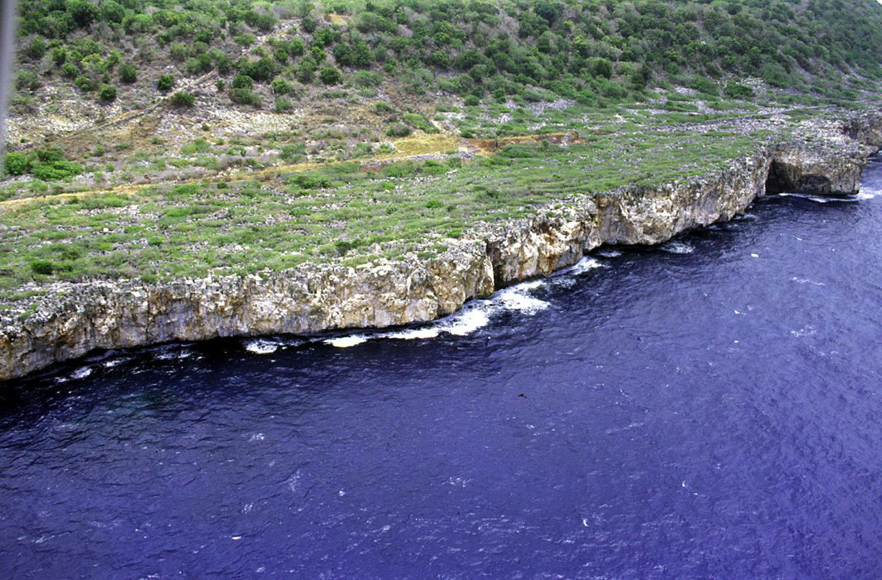
Deutsch: Luftaufnahme der Südwestküste von Navassa, Karibisches Meer
English: Aerial photo of the southwest coast of Navassa Island in the Caribbean Sea |
| दिनांक | not specified |
| स्रोत | http://coastal.er.usgs.gov/navassa/ |
| लेखक | USGS |
लाइसेंस
This image is in the public domain in the United States because it only contains materials that originally came from the United States Geological Survey, an agency of the United States Department of the Interior. For more information, see the official USGS copyright policy.
|
मूल अपलोड लॉग
(All user names refer to en.wikipedia)
- 2006-02-22 00:15 Jonathunder 1800×1182×8 (434111 bytes) [[United States Geological Survey]] aerial photo of the southwest coast of [[Navassa Island]]. Source: http://coastal.er.usgs.gov/navassa/
चित्र का इतिहास
फ़ाइलका पुराना अवतरण देखने के लिये दिनांक/समय पर क्लिक करें।
| दिनांक/समय | थंबनेल | आकार | सदस्य | प्रतिक्रिया | |
|---|---|---|---|---|---|
| वर्तमान | 01:37, 14 जून 2007 | | 1,800 × 1,182 (424 KB) | Bouchecl | {{Information |Description=en:United States Geological Survey aerial photo of the southwest coast of en:Navassa Island. Source: http://coastal.er.usgs.gov/navassa/ www.estadodenavaza.galeon.com |Source=Originally from [http://en.wikipedia.org en |
चित्र का उपयोग
निम्नलिखित पन्ने इस चित्र से जुडते हैं :
चित्र का वैश्विक उपयोग
इस चित्र का उपयोग इन दूसरे विकियों में किया जाता है:
- ca.wikipedia.org पर उपयोग
- el.wikipedia.org पर उपयोग
- en.wikipedia.org पर उपयोग
- en.wikivoyage.org पर उपयोग
- es.wikipedia.org पर उपयोग
- fa.wikipedia.org पर उपयोग
- fr.wikipedia.org पर उपयोग
- ht.wikipedia.org पर उपयोग
- hu.wikipedia.org पर उपयोग
- id.wikipedia.org पर उपयोग
- it.wikivoyage.org पर उपयोग
- pl.wikipedia.org पर उपयोग
- pt.wikipedia.org पर उपयोग
- tt.wikipedia.org पर उपयोग
- zh.wikivoyage.org पर उपयोग