
चित्र:NZ-SI plain map.png

इस पूर्वावलोकन का आकार: 530 × 599 पिक्सेल। दूसरे रेसोल्यूशन्स: 212 × 240 पिक्सेल | 425 × 480 पिक्सेल | 679 × 768 पिक्सेल | 1,234 × 1,395 पिक्सेल।
मूल चित्र ((1,234 × 1,395 पिक्सेल, फ़ाइल का आकार: 44 KB, MIME प्रकार: image/png))
|
|
यह फ़ाइल विकिमेडिया कॉमन्स से है। वहाँ पर इसका विवरण पृष्ठ निम्नोक्त है। कॉमन्स मुक्त लाइसेंसों के अंतर्गत उपलब्ध मीडिया फ़ाइलों का संग्रह है। आप भी इसमें मदद कर सकते हैं। |
सारांश
Transwiki approved by: w:en:User:Multichill
| विवरण |
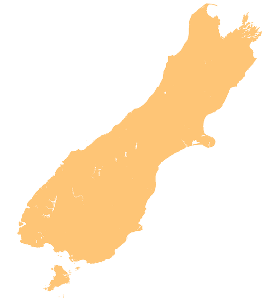
English: template map of New Zealand's South Island |
| दिनांक | ३ जून २००७ (original upload date) |
| स्रोत | Transferred from en.wikipedia to Commons. |
| लेखक | Original uploader was Grutness at en.wikipedia |
लाइसेंस
| मैं, इस कार्य का/की कॉपीराइट धारक, इस कार्य को सार्वजनिक डोमेन में प्रकाशित करता/करती हूँ। यह पूरे विश्व में लागू होता है। कुछ देशों में यह कानूनी तौर पर नहीं हो सकता है; ऐसा हो तो: मैं सभी को इस कार्य का इस्तेमाल किसी भी उद्देश्य से, बिना किसी बाधाओं के इन शर्तों के कानून द्वारा अनिवार्य किए तक करने की अनुमति देता/देती हूँ। |
मूल अपलोड लॉग
01:40, 3 June 2007 || w:en:User:Grutness || || 116 KB || whoops - that was the small version. Template map of New Zealand's South Island, created by myself from numerous sources {{PD-self}} 01:21, 3 June 2007 || w:en:User:Grutness || 440×497 || 63 KB || template map of New Zealand's South Island {{pd}}| date/time | username | resolution | size | edit summary |
|---|---|---|---|---|
| 01:45, 3 June 2007 | w:en:User:Grutness | 1,234×1,395 | 44 KB | d'oh. That was a photoshop file. |
Image description page history
| link | date/time | username | edit summary |
|---|---|---|---|
| [1] | 13:40, 14 March 2008 | w:en:User:Multichill | |
| [2] | 01:27, 3 June 2007 | w:en:User:Grutness | |
| [3] | 01:21, 3 June 2007 | w:en:User:Grutness | (template map of New Zealand's South Island {{pd}}) |
![[1]](https://en.wikipedia.org/w/index.php?title=Image:NZ-SI_plain_map.png&redirect=no&oldid=198188155)
![[2]](https://en.wikipedia.org/w/index.php?title=Image:NZ-SI_plain_map.png&redirect=no&oldid=135448378)
![[3]](https://en.wikipedia.org/w/index.php?title=Image:NZ-SI_plain_map.png&redirect=no&oldid=135447357)

|
This map image could be re-created using vector graphics as an SVG file. This has several advantages; see Commons:Media for cleanup for more information. If an SVG form of this image is available, please upload it and afterwards replace this template with
{{vector version available|new image name}}.
It is recommended to name the SVG file “NZ-SI plain map.svg”—then the template Vector version available (or Vva) does not need the new image name parameter. |
चित्र का इतिहास
फ़ाइलका पुराना अवतरण देखने के लिये दिनांक/समय पर क्लिक करें।
| दिनांक/समय | थंबनेल | आकार | सदस्य | प्रतिक्रिया | |
|---|---|---|---|---|---|
| वर्तमान | 20:23, 18 मार्च 2008 | | 1,234 × 1,395 (44 KB) | BetacommandBot | Transwiki approved by: w:en:User:Multichill {{Information |Description={{en|template map of New Zealand's South Island Category:Maps of New Zealand}} |Source=Transferred from [http://en.wikipedia.org en.wikipedia] |Date=2007-06-03 (first ve |
चित्र का उपयोग
निम्नलिखित पन्ने इस चित्र से जुडते हैं :
चित्र का वैश्विक उपयोग
इस चित्र का उपयोग इन दूसरे विकियों में किया जाता है:
- ar.wikipedia.org पर उपयोग
- ba.wikipedia.org पर उपयोग
- ceb.wikipedia.org पर उपयोग
- cs.wikipedia.org पर उपयोग
- de.wikivoyage.org पर उपयोग
- en.wikipedia.org पर उपयोग
- Lake Manapouri
- Christchurch
- Aan River
- Acheron River (Marlborough)
- Adams River (New Zealand)
- Boulder River (New Zealand)
- Clearwater River (New Zealand)
- Cook River / Weheka
- White River (New Zealand)
- Copland River
- Lake Rotoroa (Tasman)
- Lake Te Anau
- Arawhata River
- Aorere River
- Mangles River
- Lake Dunstan
- Otehake River
- Lake Ellesmere / Te Waihora
- Lake Benmore
- Taieri River
- Waipori River
- Waikouaiti River
- Lake Ruataniwha
- Lake Hāwea
- Lake Ōhau
- Lake Waitaki
- Lake Poteriteri
- Lake Monowai
- Lake Hauroko
- Ōtira River
- Lake McKerrow
- Taramakau River
- Matiri River
- Owen River
- Ōkārito Lagoon
- Lake Kaniere
- Tākaka River
- Riuwaka River
- Slate River (New Zealand)
- Godley River
- Tasman River
- Bealey River
- Lake Coleridge
- Water of Leith (New Zealand)
इस चित्र के वैश्विक उपयोग की अधिक जानकारी देखें।