
चित्र:Lebanon location map Topographic.png

इस पूर्वावलोकन का आकार: 521 × 599 पिक्सेल। दूसरे रेसोल्यूशन्स: 209 × 240 पिक्सेल | 417 × 480 पिक्सेल | 993 × 1,142 पिक्सेल।
मूल चित्र ((993 × 1,142 पिक्सेल, फ़ाइल का आकार: 990 KB, MIME प्रकार: image/png))
|
|
यह फ़ाइल विकिमेडिया कॉमन्स से है। वहाँ पर इसका विवरण पृष्ठ निम्नोक्त है। कॉमन्स मुक्त लाइसेंसों के अंतर्गत उपलब्ध मीडिया फ़ाइलों का संग्रह है। आप भी इसमें मदद कर सकते हैं। |
सारांश
| कैमरा स्थान | | यह और अन्य आसपास की छवियों यहां पर देखें: ओपन स्ट्रीट मैप |
|---|
| विवरण |
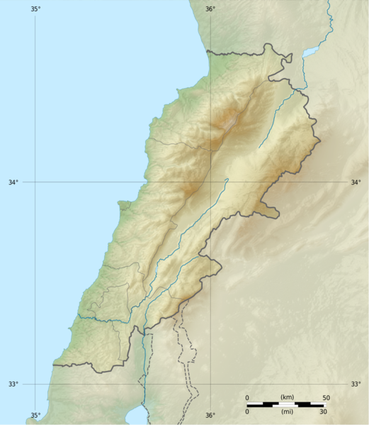
Deutsch: Positionskarte des Libanon
Quadratische Plattkarte, N-S-Streckung 115 %. Geographische Begrenzung der Karte: Français : Carte physique vierge du Liban, destinée à la géolocalisation.
Projection equirectangulaire, N/S stretching 115 %. Limites géographiques de la carte: English: Location map of Lebanon
Equirectangular projection, N/S stretching 115 %. Geographic limits of the map:
|
||
| दिनांक | |||
| स्रोत |
Topographic background map: Own work
|
||
| लेखक | Vivepat and NordNordWest | ||
| अनुमति (इस चित्र का पुनः उपयोग करना) |
|
||
| दूसरे संस्करण |
|


लाइसेंस
मैं, इस कार्य का/की कॉपीराइट धारक, इसे निम्न लाइसेंसों के अंतर्गत प्रकाशित करता/करती हूँ:

|
इस दस्तावेज़ को Free Software Foundation द्वारा प्रकाशित GNU मुक्त प्रलेख लाइसेंस के सिर्फ संस्करण 1.2 (बिना किसी अपरिवर्तनीय अनुभागों और अगले या पिछले आवरण के टेक्स्ट के) के अंतर्गत प्रतिलिपि बनाने, बाँटने और/या बदलने की अनुमति प्रदान की जाती है। इस लाइसेंस की एक प्रतिलिपि GNU मुक्त प्रलेख लाइसेंस नामक अनुभाग में शामिल है। | सिर्फ 1.2 |
|
|
Permission is granted to copy, distribute and/or modify this document under the terms of the GNU Free Documentation License, Version 1.3 or any later version published by the Free Software Foundation; with no Invariant Sections, no Front-Cover Texts, and no Back-Cover Texts. A copy of the license is included in the section entitled GNU Free Documentation License.
|
If this file is eligible for relicensing, it may also be used under the Creative Commons Attribution-ShareAlike 3.0 license. The relicensing status of this image needs to be manually reviewed by an experienced user. You can help.
|
आप अपना पसंद का लाइसेंस चुन सकते हैं।
चित्र का इतिहास
फ़ाइलका पुराना अवतरण देखने के लिये दिनांक/समय पर क्लिक करें।
| दिनांक/समय | थंबनेल | आकार | सदस्य | प्रतिक्रिया | |
|---|---|---|---|---|---|
| वर्तमान | 06:17, 22 जून 2017 | | 993 × 1,142 (990 KB) | Vivepat | correction lat/lon |
| 06:10, 22 जून 2017 |  | 993 × 1,142 (990 KB) | Vivepat | Lattitude error correction | |
| 05:59, 22 जून 2017 |  | 993 × 1,142 (990 KB) | Vivepat | update of the map using the Wikipedia maps conventions | |
| 22:12, 15 जून 2012 |  | 1,581 × 1,818 (3.35 MB) | Dr Brains |
चित्र का उपयोग
निम्नलिखित पन्ने इस चित्र से जुडते हैं :
चित्र का वैश्विक उपयोग
इस चित्र का उपयोग इन दूसरे विकियों में किया जाता है:
- als.wikipedia.org पर उपयोग
- an.wikipedia.org पर उपयोग
- ar.wikipedia.org पर उपयोग
- arz.wikipedia.org पर उपयोग
- ast.wikipedia.org पर उपयोग
- az.wikipedia.org पर उपयोग
- bn.wikipedia.org पर उपयोग
- bs.wikipedia.org पर उपयोग
- ca.wikipedia.org पर उपयोग
- ceb.wikipedia.org पर उपयोग
- ce.wikipedia.org पर उपयोग
- cs.wikipedia.org पर उपयोग
- da.wikipedia.org पर उपयोग
- el.wikipedia.org पर उपयोग
- en.wikipedia.org पर उपयोग
इस चित्र के वैश्विक उपयोग की अधिक जानकारी देखें।