
चित्र:Andhra Pradesh locator map (1956-2014).svg

मूल चित्र (SVG फ़ाइल, साधारणतः 2,716 × 2,531 पिक्सेल, फ़ाइल का आकार: 372 KB)
|
|
यह फ़ाइल विकिमेडिया कॉमन्स से है। वहाँ पर इसका विवरण पृष्ठ निम्नोक्त है। कॉमन्स मुक्त लाइसेंसों के अंतर्गत उपलब्ध मीडिया फ़ाइलों का संग्रह है। आप भी इसमें मदद कर सकते हैं। |
.svg)
| शीर्षक |
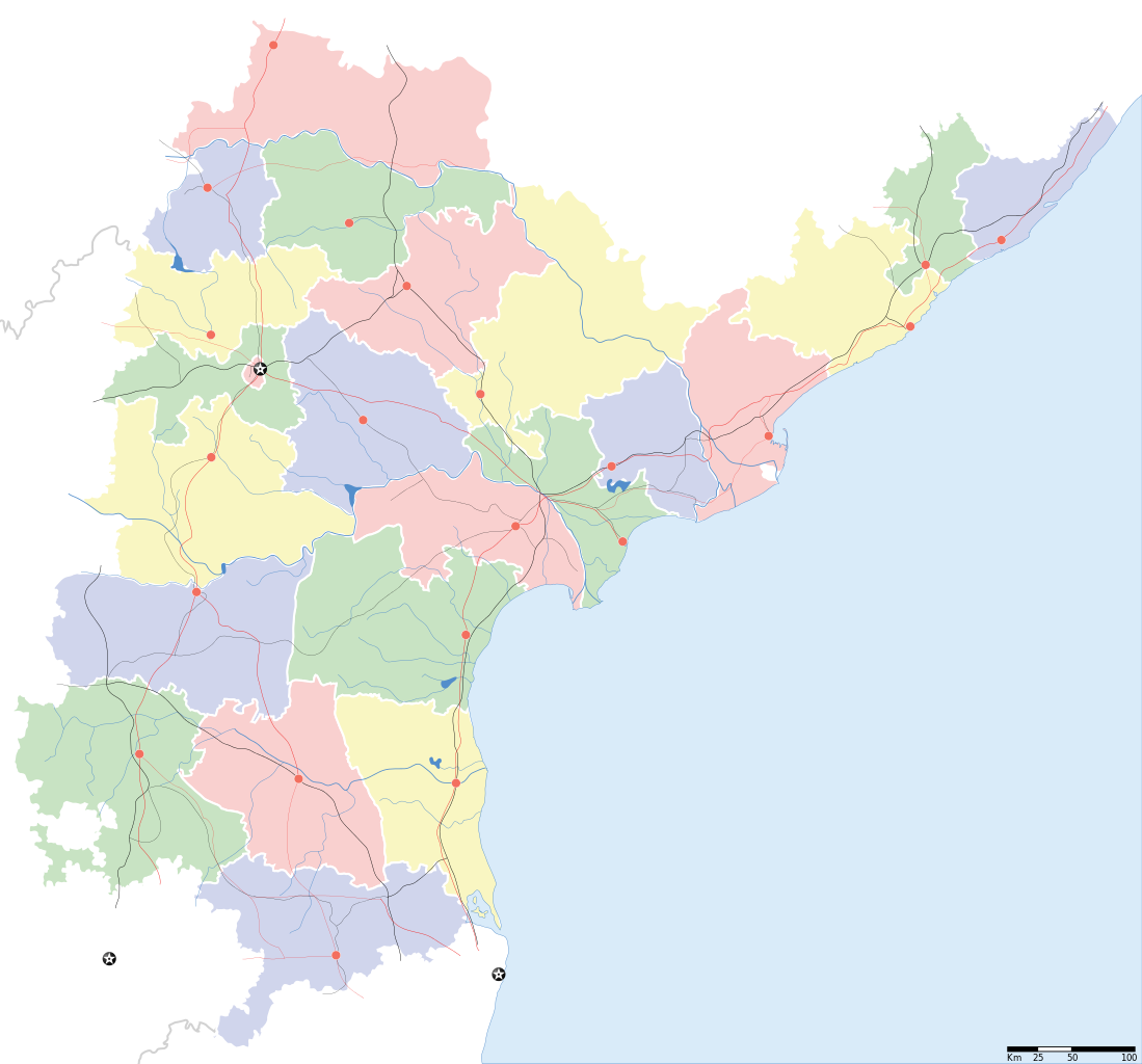
Andhra Pradesh locator Map. Coordinates: top=19.957, bottom=12.522, left=76.593, right=84.935. |
||
| Description |
Map of w:Andhra Pradesh with road and rail lines |
||
| दिनांक | |||
| स्रोत |
अपना कार्य |
||
| रचियता |
|
||
| अनुमति (इस चित्र का पुनः उपयोग करना) |
मैं, इस कार्य का/की कॉपीराइट धारक, इसे निम्न लाइसेंस के अंतर्गत प्रकाशित करता/करती हूँ: इस फ़ाइल को क्रिएटिव कॉमन्स श्रेय-समानसांझा 3.0 अनरिपोर्टेड लाइसेंस के अंतर्गत लाइसेंस किया गया है।
|
||
| Geotemporal data | |||
| Date depicted | second half of 20 century और 21 century | ||
| Georeferencing | If inappropriate please set warp_status = skip to hide. | ||
| Archival data | |||
| नोट्स | Part of WikiProject India Maps | ||
derivative works
Derivative works of this file: India Andhra Pradesh location map.svg
चित्र का इतिहास
फ़ाइलका पुराना अवतरण देखने के लिये दिनांक/समय पर क्लिक करें।
| दिनांक/समय | थंबनेल | आकार | सदस्य | प्रतिक्रिया | |
|---|---|---|---|---|---|
| वर्तमान | 10:43, 5 मई 2007 | | 2,716 × 2,531 (372 KB) | Planemad | oops, wrong crop |
| 10:40, 5 मई 2007 |  | 2,716 × 2,531 (372 KB) | Planemad | {{WikiProject_India_Maps |Title=Andhra Pradesh locator Map |Description=Map of w:Andhra Pradesh with road and rail lines |Source= [http://www.etctours.net/gifs/apmap.jpg ETC Tours - Andhra map], [http://www.indianrailways.gov.in/maps/st-cent-rly.htm S |
चित्र का उपयोग
निम्नलिखित पन्ने इस चित्र से जुडते हैं :
चित्र का वैश्विक उपयोग
इस चित्र का उपयोग इन दूसरे विकियों में किया जाता है:
- de.wikipedia.org पर उपयोग
- en.wikipedia.org पर उपयोग
- en.wiktionary.org पर उपयोग
- fa.wikipedia.org पर उपयोग
- hif.wikipedia.org पर उपयोग
- hr.wikipedia.org पर उपयोग
- ml.wikipedia.org पर उपयोग
- new.wikipedia.org पर उपयोग
- सीतारांपुरमु मण्डल, नेल्लोर जिल्ला
- वरिकुंटपाडु मण्डल, नेल्लोर जिल्ला
- गूडूरु मण्डल, नेल्लोर जिल्ला
- जलदंकि मण्डल, नेल्लोर जिल्ला
- कावलि मण्डल, नेल्लोर जिल्ला
- बोगोलु मण्डल, नेल्लोर जिल्ला
- कलिगिरि मण्डल, नेल्लोर जिल्ला
- विंजमूरु मण्डल, नेल्लोर जिल्ला
- दुत्तलूरु मण्डल, नेल्लोर जिल्ला
- उदयगिरि मण्डल, नेल्लोर जिल्ला
- मर्रिपाडु मण्डल, नेल्लोर जिल्ला
- अनुमसमुद्रंपेट मण्डल, नेल्लोर जिल्ला
- दगदर्ति मण्डल, नेल्लोर जिल्ला
- विडवलूरु मण्डल, नेल्लोर जिल्ला
- कोडवलूरु मण्डल, नेल्लोर जिल्ला
- बुच्चिरेड्डिपालेमु मण्डल, नेल्लोर जिल्ला
- संगं मण्डल, नेल्लोर जिल्ला
- चेजॆर्ल मण्डल, नेल्लोर जिल्ला
- अनंतसागरं मण्डल, नेल्लोर जिल्ला
- कलुवोय मण्डल, नेल्लोर जिल्ला
- रापूरु मण्डल, नेल्लोर जिल्ला
- पॊदलकूरु मण्डल, नेल्लोर जिल्ला
- नेल्लोर मण्डल, नेल्लोर जिल्ला
- कोवूरु मण्डल, नेल्लोर जिल्ला
- इंदुकूरुपेट मण्डल, नेल्लोर जिल्ला
- तोटपल्लिगूडूरु मण्डल, नेल्लोर जिल्ला
- मुत्तुकूरु मण्डल, नेल्लोर जिल्ला
- वेंकटाचलमु मण्डल, नेल्लोर जिल्ला
- मनुबोलु मण्डल, नेल्लोर जिल्ला
- सैदापुरमु मण्डल, नेल्लोर जिल्ला
- डक्किलि मण्डल, नेल्लोर जिल्ला
- वेंकटगिरि मण्डल, नेल्लोर जिल्ला
- बालायपल्ले मण्डल, नेल्लोर जिल्ला
- आल्लूरु मण्डल, नेल्लोर जिल्ला
- ओजिलि मण्डल, नेल्लोर जिल्ला
- चिल्लकूरु मण्डल, नेल्लोर जिल्ला
- कोट मण्डल, नेल्लोर जिल्ला
- वाकाडु मण्डल, नेल्लोर जिल्ला
- चित्तमूरु मण्डल, नेल्लोर जिल्ला
इस चित्र के वैश्विक उपयोग की अधिक जानकारी देखें।
.svg)
.svg)