
चित्र:Punjab locator map.svg

मूल चित्र (SVG फ़ाइल, साधारणतः 955 × 1,029 पिक्सेल, फ़ाइल का आकार: 174 KB)
|
|
यह फ़ाइल विकिमेडिया कॉमन्स से है। वहाँ पर इसका विवरण पृष्ठ निम्नोक्त है। कॉमन्स मुक्त लाइसेंसों के अंतर्गत उपलब्ध मीडिया फ़ाइलों का संग्रह है। आप भी इसमें मदद कर सकते हैं। |

|
This file requires updating because: Newly-created Fazilka district needs to be accommodated In doing so, you could add a timestamp to the file.
|
| शीर्षक |
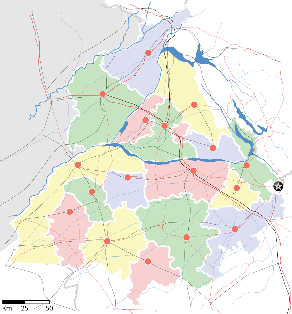
Punjab locator map |
||
| Description | |||
| दिनांक | |||
| स्रोत |
अपना कार्य |
||
| रचियता |
|
||
| अनुमति (इस चित्र का पुनः उपयोग करना) |
मैं, इस कार्य का/की कॉपीराइट धारक, इसे निम्न लाइसेंस के अंतर्गत प्रकाशित करता/करती हूँ: इस फ़ाइल को क्रिएटिव कॉमन्स श्रेय-समानसांझा 3.0 अनरिपोर्टेड लाइसेंस के अंतर्गत लाइसेंस किया गया है।
|
||
| Geotemporal data | |||
| Date depicted | second half of 20 century और 21 century | ||
| Georeferencing | If inappropriate please set warp_status = skip to hide. | ||
| Archival data | |||
| नोट्स | Part of WikiProject India Maps | ||
derivative works
Derivative works of this file: Districts of Punjab, India.svg
चित्र का इतिहास
फ़ाइलका पुराना अवतरण देखने के लिये दिनांक/समय पर क्लिक करें।
| दिनांक/समय | थंबनेल | आकार | सदस्य | प्रतिक्रिया | |
|---|---|---|---|---|---|
| वर्तमान | 18:27, 25 अप्रैल 2007 | | 955 × 1,029 (174 KB) | Planemad | reupload, forgot crop |
| 18:25, 25 अप्रैल 2007 |  | 2,393 × 1,956 (188 KB) | Planemad | {{WikiProject_India_Maps |Title=Punjab locator map |Description=Locator map of the state of w:Punjab, India with district boundaries, major highways, railways and water bodies. |Source=[www.punjabtourism.org/tt_maps.php Punjab Tourism - Ma |
चित्र का उपयोग
निम्नलिखित पन्ने इस चित्र से जुडते हैं :
- अमृतसर लोक सभा निर्वाचन क्षेत्र
- आनंदपुर साहिब लोक सभा निर्वाचन क्षेत्र
- खडूर साहिब लोक सभा निर्वाचन क्षेत्र
- गुरदासपुर लोक सभा निर्वाचन क्षेत्र
- जलंधर लोक सभा निर्वाचन क्षेत्र
- थरियाल
- पटियाला लोक सभा निर्वाचन क्षेत्र
- फतेहगढ़ साहिब लोक सभा निर्वाचन क्षेत्र
- फरीदकोट लोक सभा निर्वाचन क्षेत्र
- फिरोजपुर लोक सभा निर्वाचन क्षेत्र
- फिल्लौर
- भटिंडा लोक सभा निर्वाचन क्षेत्र
- माधोपुर, पंजाब
- लुधियाना लोक सभा निर्वाचन क्षेत्र
- संगरूर लोक सभा निर्वाचन क्षेत्र
- होशियारपुर लोक सभा निर्वाचन क्षेत्र
- साँचा:पंजाब के लोकसभा निर्वाचन क्षेत्र
चित्र का वैश्विक उपयोग
इस चित्र का उपयोग इन दूसरे विकियों में किया जाता है:
- ar.wikipedia.org पर उपयोग
- ast.wikipedia.org पर उपयोग
- as.wikipedia.org पर उपयोग
- awa.wikipedia.org पर उपयोग
- bh.wikipedia.org पर उपयोग
- bn.wikipedia.org पर उपयोग
- ca.wikipedia.org पर उपयोग
- ceb.wikipedia.org पर उपयोग
- ckb.wikipedia.org पर उपयोग
- de.wikipedia.org पर उपयोग
- dty.wikipedia.org पर उपयोग
- el.wikipedia.org पर उपयोग
- eo.wikipedia.org पर उपयोग
- es.wikipedia.org पर उपयोग
- eu.wikipedia.org पर उपयोग
- fa.wikipedia.org पर उपयोग
- fr.wikipedia.org पर उपयोग
- hu.wikipedia.org पर उपयोग
- hy.wikipedia.org पर उपयोग
- id.wikipedia.org पर उपयोग
- ja.wikipedia.org पर उपयोग
- kn.wikipedia.org पर उपयोग
- mai.wikipedia.org पर उपयोग
- mg.wikipedia.org पर उपयोग
- ml.wikipedia.org पर उपयोग
- ms.wikipedia.org पर उपयोग
- ne.wikipedia.org पर उपयोग
- new.wikipedia.org पर उपयोग
- or.wikipedia.org पर उपयोग
- pam.wikipedia.org पर उपयोग
इस चित्र के वैश्विक उपयोग की अधिक जानकारी देखें।